Nederlands
  English
  Français
  Deutsch
 Create your own routes
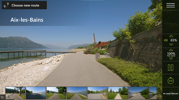
Determine your own routes through Google Street View
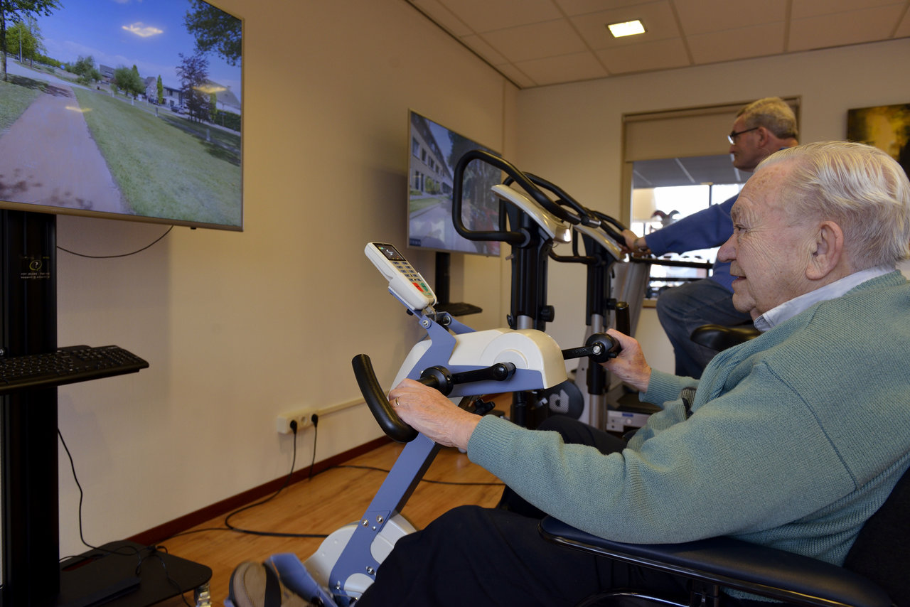
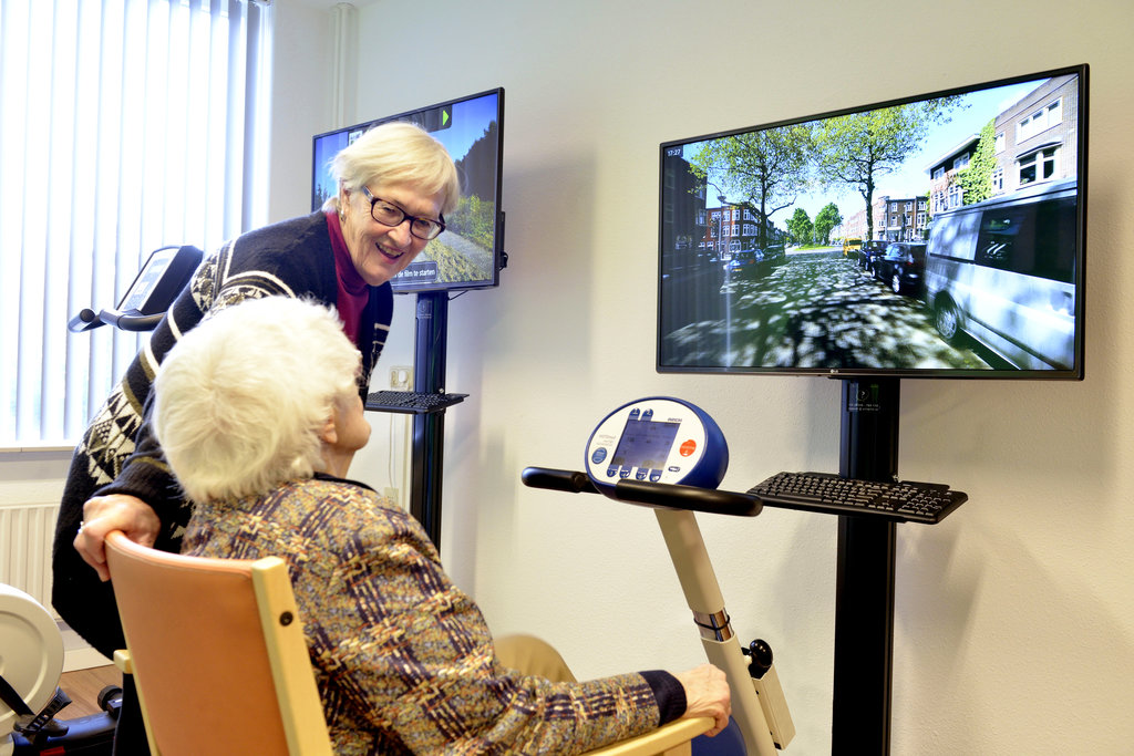
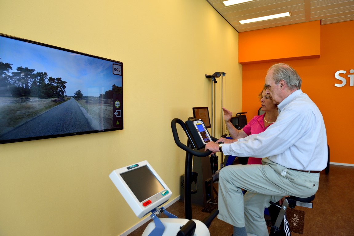
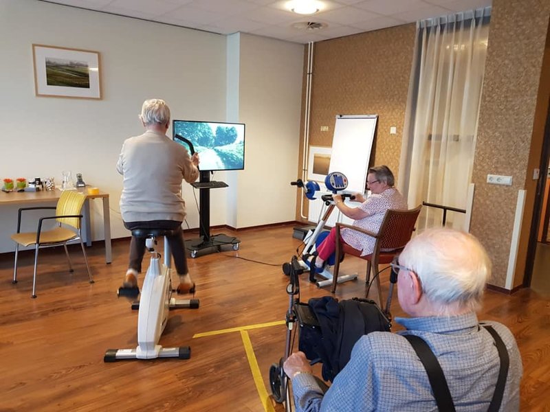
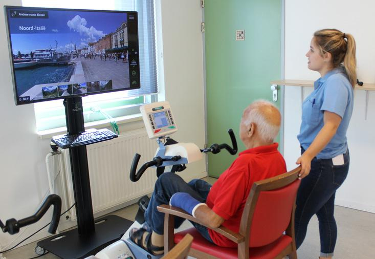
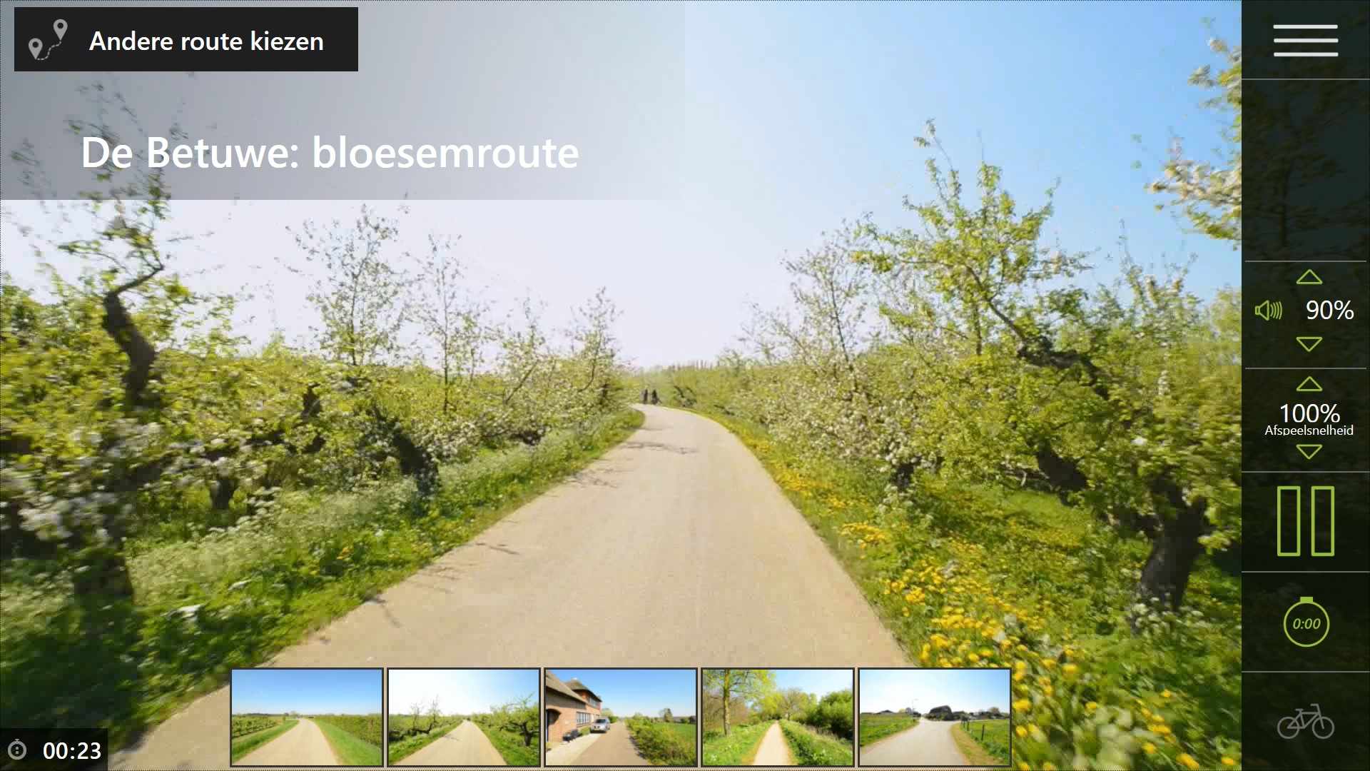
This function allows you, or together with your client, to choose a route to cycle with the SilverFit Mile. The route is shown on the system as a slideshow of photos taken by Google, mentionning the street names.
It is then possible to create routes that are very familiar to your patients, for example where they used to live, or where they have often been on vacation. For patients, it is very nice to see familiar places and it is motivating for the therapy. These routes with photos give you, as a therapist or counselor, a nice opportunity to start a conversation with your patient.
The function can also be used without having to cycle or walk, allowing you to look at a route with, for example, a group of patients.
How does it work?
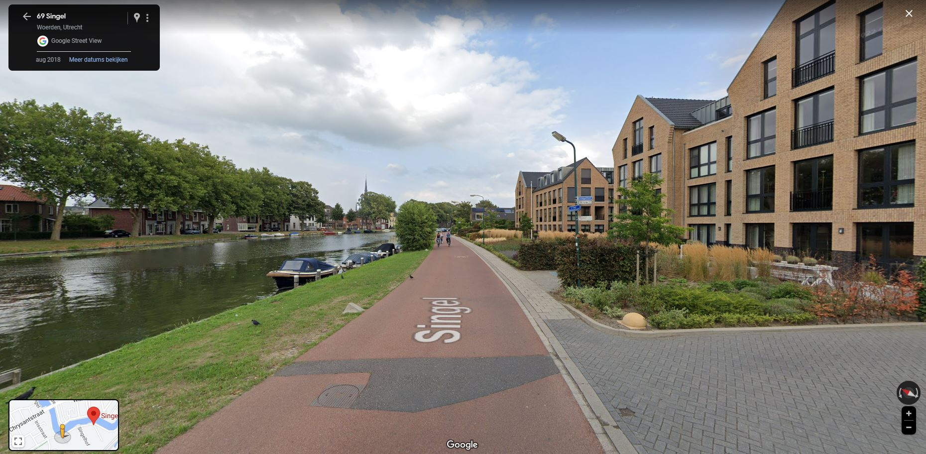
Just like via Google Maps, you can plan a route yourself, by logging in a special website (credientials given by SilverFit). You enter a start and end point, and you can optionally also add route points in between. This is possible from any computer with an internet connection, so that you can also make routes at home.
Then download the routes via the website and save them on a USB stick.
You then insert the USB stick into the computer of the SilverFit Mile system, so that the route is placed in the system. The USB stick must remain in the computer.
In the home screen of the SilverFit Mile you will find a button 'Choose another route' at the top left. Then choose the "Google Street View" tab. Here you can see all routes that you have saved on the USB stick.